OSM services
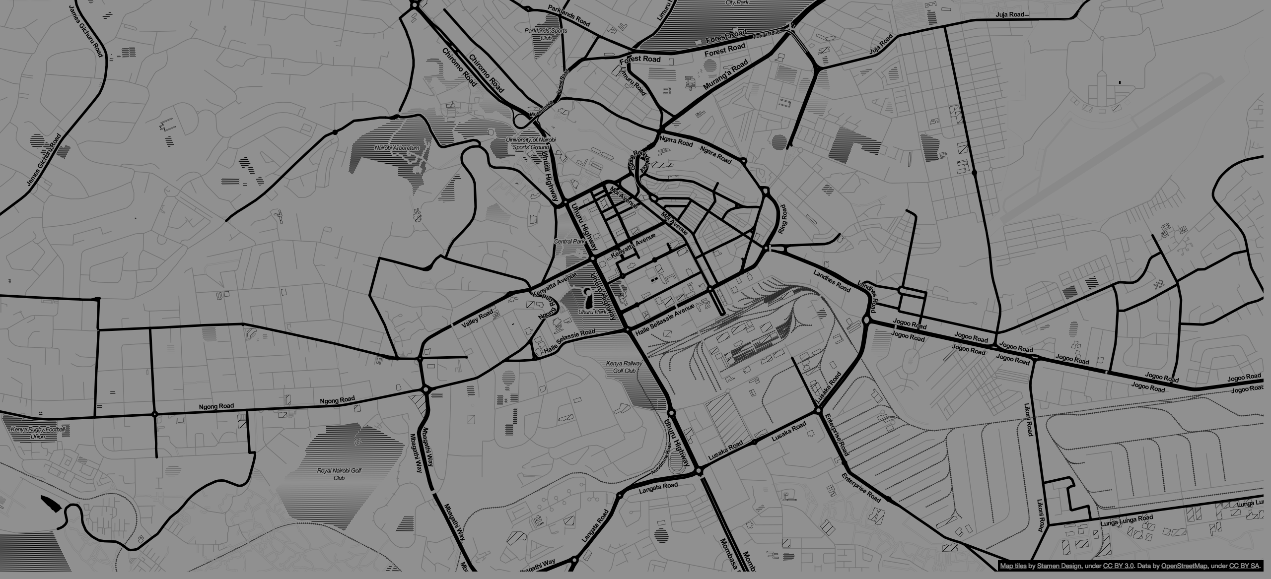
OpenStreetMap (OSM) is a collaborative project to create a free editable map of the world. Rather than the map itself, the data generated by the project is considered its primary output.
Why OSM?
- OpenStreetMap powers map data on thousands of web sites, mobile apps, and hardware devices.
- OpenStreetMap emphasizes local knowledge. Contributors use aerial imagery, GPS devices, and low-tech field maps to verify that OSM is accurate and up to date.
- OpenStreetMap is open data: you are free to use it for any purpose as long as you credit OpenStreetMap and its contributors.
- OpenStreetMap’s community is diverse, passionate, and growing every day.The contributors include enthusiast mappers, GIS professionals, engineers running the OSM servers, humanitarians mapping disaster-affected areas, and many more.
- OpenStreetMap has forever changed the way we look at geo-data and the technology surrounding it. This change in perspective has helped foster a growing number of geo-enabled companies.
What do we offer?
- We enable our clients to make location and geo-data so prevalent to their growing variety of needs through the use of OpenStreetMap (OSM).
- We also offer Mapathon competition events where participants are involved in mapping a particular area of interest. The recent projects include the mapping of Masai Mara and Narok regions.
- We assist our customers in packaging OSM data in the office for offline use in mobile apps and GPS devices therefore, the challenge of internet connectivity during field data collection is well catered for.