

open architecture
CAK approved
Built in Kenya, for Africa
smart management of assets in real time
Upande offers you affordable subscriptions to powerful digital platforms.
Our basic software allows you to move on from Excel to true collaboration in your entire organisation.
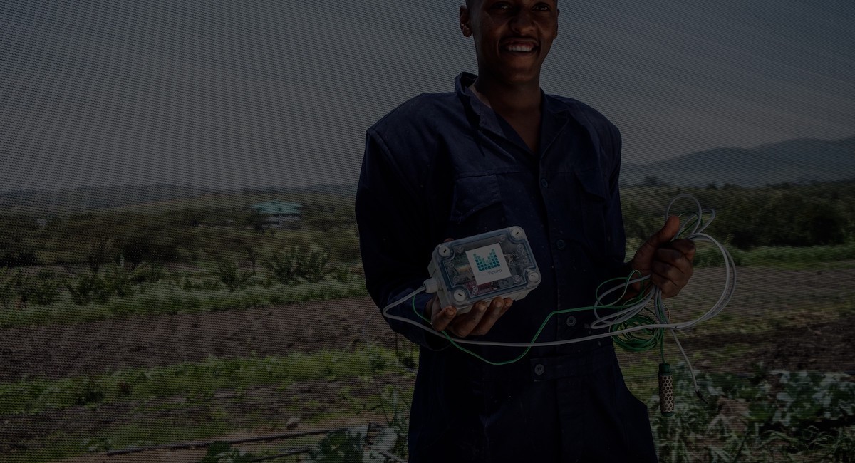
Sensors collect live data on the physical conditions in the field so you are in the know.
UpandeERP
Starting at $50pm
 our core application, giving you all your digital records in one place, in the palm of your hands
Upande SENSORS
Starting at $5pm
 integrate your operational data with live sensor data from the field
Upande Smart Solutions
Starting at $100pm
 our more advanced sector specific modules which allow you to more smartly manage your assets
How it works
Since 2009 we have been developing digital platforms which track assets including facilities, businesses, farms, utilities, and key infrastructure. Every asset is digitized, can be monitored, maintained, and accounted for in our platforms.
Smart devices collect live data on the conditions in the field and can be used to trigger changes remotely. This gives our customers the power to manage operations from anywhere in the world from the palm of their hand.
Our sensor platform enables our customers manage their assets on a prepaid basis, bringing them positive cash flow, saving time and money on revenue collection and avoiding disconnection / reconnection efforts.
Our modular platform is powered by IoT (Internet of Things), GIS (Geographic Information Systems), ERP (Enterprise Resource Planning), drones, blockchain, machine learning and mobile payment systems.
Featured case studies
Testimonials
We started early 2021 with Upande as our service provider for ERPNext. Upande also provides us the hosting services.
So far I have been very satisfied about the services provided. Upande is reliable and up to the task, particularly when things go wrong, they are quick and accurate in their problem solving. I happily recommend Upande as your preferred service provider.
Willem Jongens